Fireside Topo Map Online
Download Free Topo Map Sheet 094M11 at 1:50,000 scale
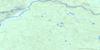
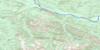
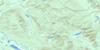
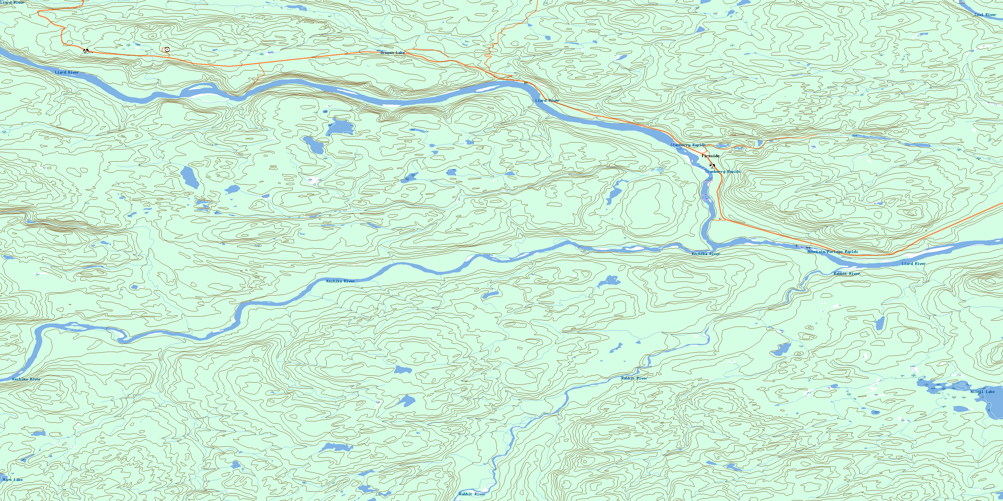
094M11 Fireside Topo Map
To view this map, mouse over the map preview on the right.
You can also download this topo map for free:
094M11 Fireside high-resolution topo map image.
Maps for the Fireside topo map sheet 094M11 at 1:50,000 scale are also available in these versions:
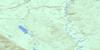
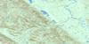
Fireside Surrounding Area Topo Maps
 |
 |
 |
 |
 |
 |
 |
 |
 |
 |
 |
 |
 |
 |
 |
 |
© Department of Natural Resources Canada. All rights reserved.
Fireside Gazetteer
The following places can be found on topographic map sheet 094M11 Fireside:
Fireside Topo Map: Geographical areas
Cassiar Land DistrictFireside Topo Map: Indian Reserves
Muddy River Indian Reserve 1Réserve indienne Muddy River 1
Fireside Topo Map: Lakes
Hare LakeNiloilLake
Oregon Lake
Fireside Topo Map: Mountains
Muskwa RangesRocky Mountains
Fireside Topo Map: Major municipal/district area - major agglomerations
Fort Nelson-Liard Regional DistrictFireside Topo Map: Plains
Liard PlainRabbit Plateau
Fireside Topo Map: Rapids
Cranberry RapidsMountain Portage Rapids
Fireside Topo Map: Rivers
Coal RiverKechika River
Leguil Creek
Liard River
Niloil Creek
Rabbit River
Fireside Topo Map: Unincorporated areas
FiresideSkooks Landing
© Department of Natural Resources Canada. All rights reserved.
094M Related Maps:
094M Rabbit River094M01 Skeezer Lake
094M02 No Title
094M03 Scoop Lake
094M04 Turnagain River
094M05 Aeroplane Lake
094M06 Gemini Lakes
094M07 Fishing Lake
094M08 Vents River
094M09 Teeter Creek
094M10 Grant Lake
094M11 Fireside
094M12 Tatisno Mountain
094M13 Egnell Lakes
094M14 Hillgren Lakes
094M15E Shaw Creek
094M15W Shaw Creek
094M16E Smith River
094M16W Smith River
