Blackney Island Topo Map Online
Download Free Topo Map Sheet 102P08 at 1:50,000 scale
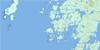
102P08 Blackney Island Topo Map
To view this map, mouse over the map preview on the right.
You can also download this topo map for free:
102P08 Blackney Island high-resolution topo map image.
Maps for the Blackney Island topo map sheet 102P08 at 1:50,000 scale are also available in these versions:
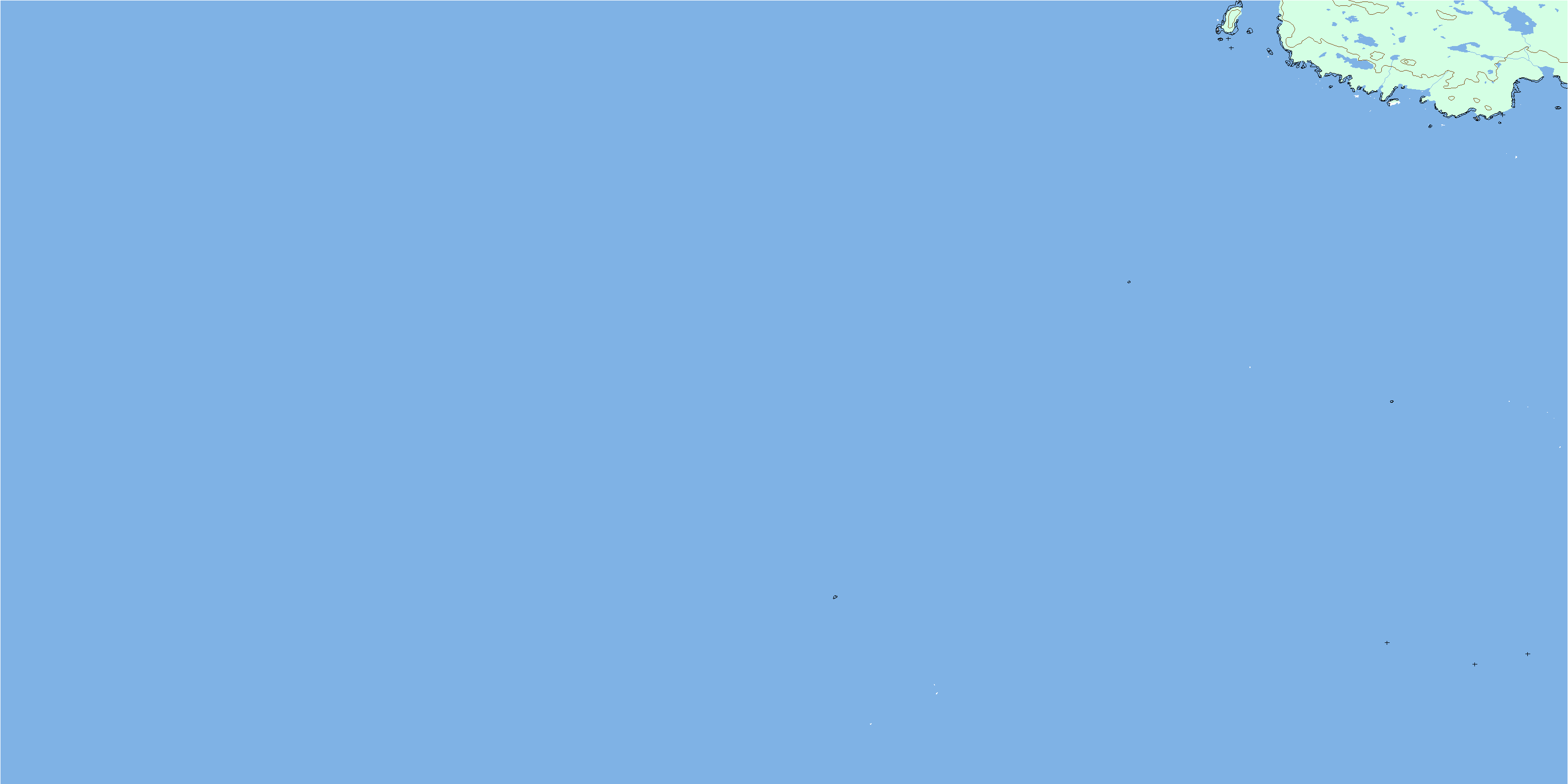
Blackney Island Surrounding Area Topo Maps
 |
|||
 |
|||
 |
|||
© Department of Natural Resources Canada. All rights reserved.
Blackney Island Gazetteer
The following places can be found on topographic map sheet 102P08 Blackney Island:
Blackney Island Topo Map: Bays
Chic Chic BayQueen Charlotte Sound
Blackney Island Topo Map: Capes
Herbert PointStafford Point
Blackney Island Topo Map: Channels
North PassageBlackney Island Topo Map: Islands
Blackney IslandCalvert Island
Jennie Islet
Sea Otter Group
Blackney Island Topo Map: Mountains
Mark NippleBlackney Island Topo Map: Major municipal/district area - major agglomerations
Central Coast Regional DistrictBlackney Island Topo Map: Shoals
Barugh ShoalBoyle Rocks
Fitz Roy Reef
Harold Rock
Hedley Patch
Kent Bank
New Rocks
Pearl Rocks
Rankin Shoals
Tynemouth Rock
Upward Rock
Virgin Rocks
Watch Rock
Wigen Shoal
Wing Rock
© Department of Natural Resources Canada. All rights reserved.
