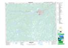
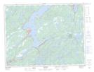
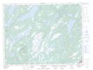
Maps showing Bishop's Falls, Exploits, Newfoundland and Labrador
Bishop's Falls is a Town located in Exploits, Newfoundland and Labrador and has an elevation of 14 meters.
- Latitude: 49° 1' 15'' North (decimal: 49.0209527)
- Longitude: 55° 29' 24'' West (decimal: -55.4898944)
- Topography Feature Category: Town
- Geographical Feature: Town
- Canadian Province/Territory: Newfoundland and Labrador
- Elevation: 14 meters
- Location: Exploits
- Atlas of Canada Locator Map: Bishop's Falls
- GPS Coordinate Locator Map: Bishop's Falls Lat/Long
Bishop's Falls NTS Map Sheets