002D Gander Lake Topographic Maps
Maps for the Gander Lake map sheet 002D at 1:250,000 scale are available in 5 versions:
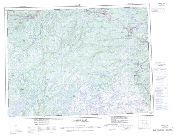
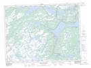
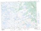
Topographic Map of Gander Lake
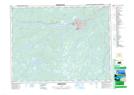
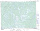
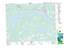
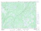
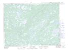
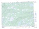
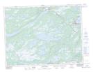
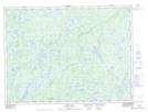
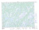
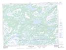
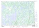
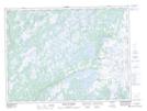
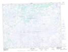
1:50,000 Scale Topos for Gander Lake 002D:
 |
 |
 |
 |
 |
 |
 |
 |
 |
 |
 |
 |
 |
 |
 |
 |
002D Related Maps:
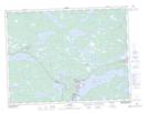
002D Gander Lake
002D01 Tug Pond
002D02 Meta Pond
002D03 Mount Sylvester
002D04 Twillick Brook
002D05 Burnt Hill
002D06 Great Gull Lake
002D07 Kepenkeck Lake
002D08 Port Blandford
002D09 Glovertown
002D10 Dead Wolf Pond
002D11 Eastern Pond
002D12 Miguels Lake
002D13 Grand Falls
002D14 Mount Peyton
002D15 Gander
002D16 Gambo
