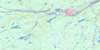
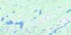
Gander Lake Topo Map
Free Topo Maps Downloadable Online: 002D
002D Gander Lake Topo Map
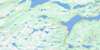
To view this map, mouse over the map preview on the right.
You can also download this topo map for free:
002D Gander Lake high-resolution topo map image.
Maps for the Gander Lake map sheet 002D at 1:250,000 scale are also available in these 4 versions:
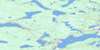
Gander Lake Surrounding Area Topos (NTS 002)
 |
|||
 |
 |
||
 |
 |
© Department of Natural Resources Canada. All rights reserved.
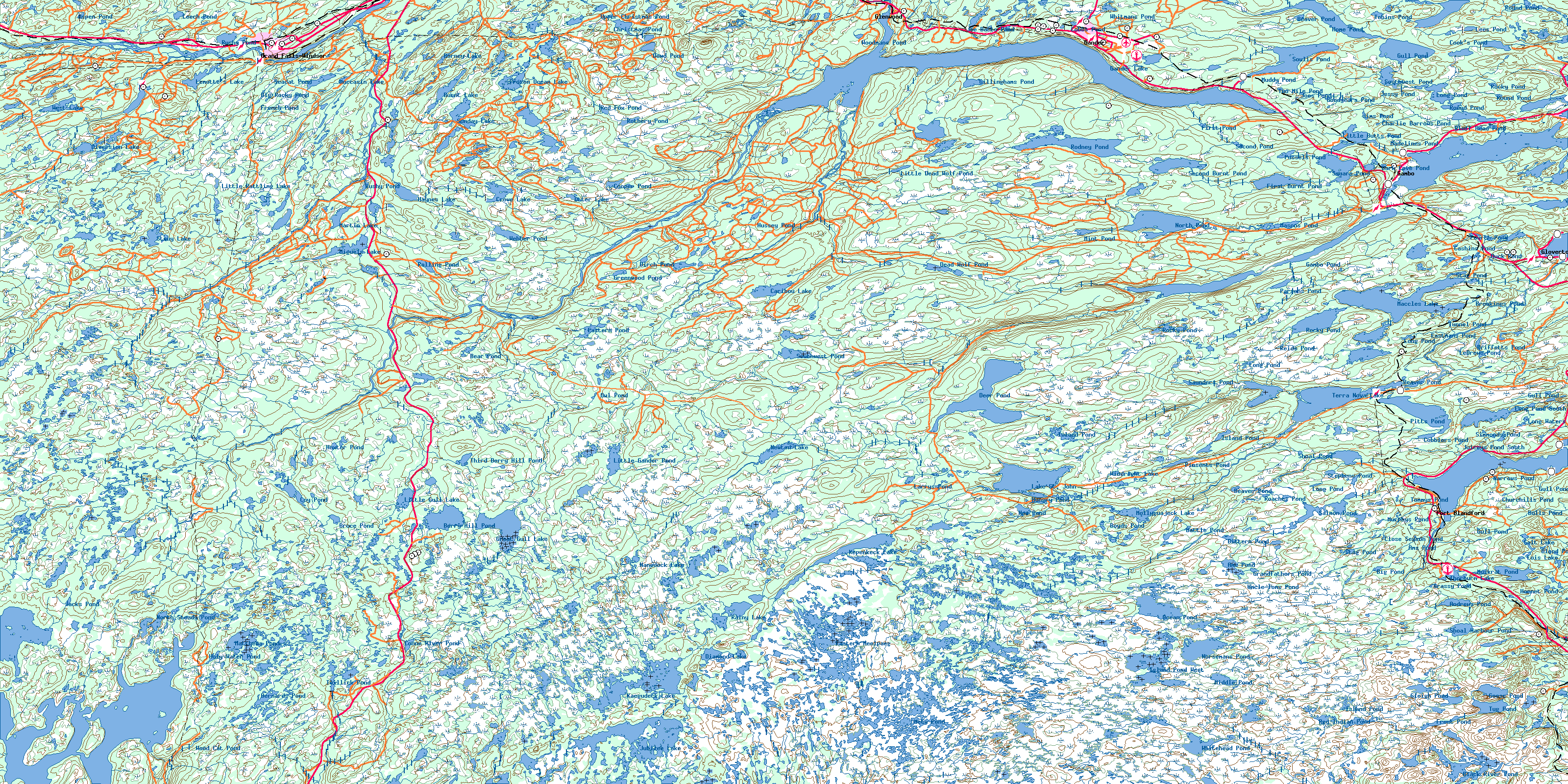
002D Gander Lake Area Topo Maps at 1:50,000
 |
 |
 |
 |
 |
 |
 |
 |
 |
 |
 |
 |
 |
 |
 |
 |
© Department of Natural Resources Canada. All rights reserved.
© Department of Natural Resources Canada. All rights reserved.
002D Related Maps:
002D Gander Lake002D01 Tug Pond
002D02 Meta Pond
002D03 Mount Sylvester
002D04 Twillick Brook
002D05 Burnt Hill
002D06 Great Gull Lake
002D07 Kepenkeck Lake
002D08 Port Blandford
002D09 Glovertown
002D10 Dead Wolf Pond
002D11 Eastern Pond
002D12 Miguels Lake
002D13 Grand Falls
002D14 Mount Peyton
002D15 Gander
002D16 Gambo
