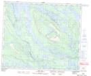
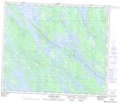
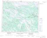
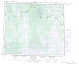
Maps showing Blanchet Lake, Newfoundland and Labrador
Blanchet Lake is a Lake located in Newfoundland and Labrador and has an elevation of 474 meters.
- Latitude: 54° 0' 17'' North (decimal: 54.0048417)
- Longitude: 65° 41' 2'' West (decimal: -65.6837723)
- Topography Feature Category: Lake
- Geographical Feature: Lake
- Canadian Province/Territory: Newfoundland and Labrador
- Elevation: 474 meters
- Atlas of Canada Locator Map: Blanchet Lake
- GPS Coordinate Locator Map: Blanchet Lake Lat/Long
Blanchet Lake NTS Map Sheets