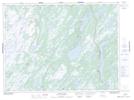
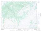
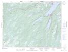
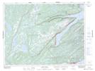
Maps showing Burnt Berry Brook, Newfoundland and Labrador
Burnt Berry Brook is a River located in Newfoundland and Labrador and has an elevation of 332 meters.
- Latitude: 49° 30' 4'' North (decimal: 49.5011111)
- Longitude: 56° 6' 33'' West (decimal: -56.1091666)
- Topography Feature Category: River
- Geographical Feature: Brook
- Canadian Province/Territory: Newfoundland and Labrador
- Elevation: 332 meters
- Atlas of Canada Locator Map: Burnt Berry Brook
- GPS Coordinate Locator Map: Burnt Berry Brook Lat/Long
Burnt Berry Brook NTS Map Sheets