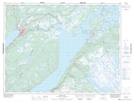
Maps showing Crooked Feeder, Newfoundland and Labrador
Crooked Feeder is a River located in Newfoundland and Labrador and has an elevation of 51 meters.
- Latitude: 49° 14' 44'' North (decimal: 49.2455555)
- Longitude: 57° 20' 48'' West (decimal: -57.3466666)
- Topography Feature Category: River
- Geographical Feature: Feeder
- Canadian Province/Territory: Newfoundland and Labrador
- Elevation: 51 meters
- Atlas of Canada Locator Map: Crooked Feeder
- GPS Coordinate Locator Map: Crooked Feeder Lat/Long
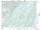
Crooked Feeder NTS Map Sheets