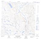
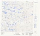
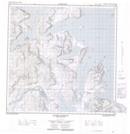
Maps showing Eclipse River, Newfoundland and Labrador
Eclipse River is a River located in Newfoundland and Labrador and has an elevation of 95 meters.
- Latitude: 59° 46' 51'' North (decimal: 59.7807089)
- Longitude: 64° 16' 11'' West (decimal: -64.2697864)
- Topography Feature Category: River
- Geographical Feature: River
- Canadian Province/Territory: Newfoundland and Labrador
- Elevation: 95 meters
- Atlas of Canada Locator Map: Eclipse River
- GPS Coordinate Locator Map: Eclipse River Lat/Long
Eclipse River NTS Map Sheets