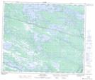
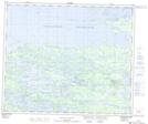
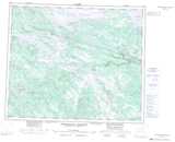
Maps showing Flour Lake, Naskaupi, Newfoundland and Labrador
Flour Lake is a Lake located in Naskaupi, Newfoundland and Labrador.
- Latitude: 53° 44' 00'' North (decimal: 53.7333333)
- Longitude: 64° 49' 57'' West (decimal: -64.8325000)
- Topography Feature Category: Lake
- Geographical Feature: Lake
- Canadian Province/Territory: Newfoundland and Labrador
- Location: Naskaupi
- GPS Coordinate Locator Map: Flour Lake Lat/Long
Flour Lake NTS Map Sheets