Canada Topographic Maps

Gander River Topo Maps

Topography maps and Latitude/Longitude Location

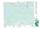
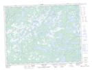
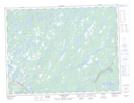
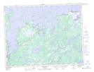
Maps showing Gander River, Newfoundland and Labrador

Gander River is a River located in Newfoundland and Labrador and has an elevation of 1 meters.

  • Latitude: 49° 15' 47'' North   (decimal: 49.2630555)
  • Longitude: 54° 29' 43'' West   (decimal: -54.4952777)
  • Topography Feature Category: River
  • Geographical Feature: River
  • Canadian Province/Territory: Newfoundland and Labrador
  • Elevation: 1 meters
  • Atlas of Canada Locator Map: Gander River
  • GPS Coordinate Locator Map: Gander River Lat/Long

Gander River NTS Map Sheets

002D15 Gander Topographic Map at 1:50,000 scale

002E01 Weir's Pond Topographic Map at 1:50,000 scale

002E02 Gander River Topographic Map at 1:50,000 scale

002E08 Carmanville Topographic Map at 1:50,000 scale

002D Gander Lake Topographic Map at 1:250,000 scale

002E Botwood Topographic Map at 1:250,000 scale

 
Buy Topographic Maps DVD
Newsletter Sign-up

Yes, I want to receive map store discounts.


Bookmark and Share