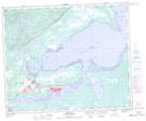
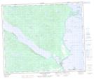
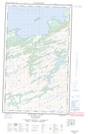
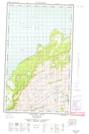
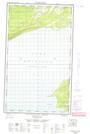
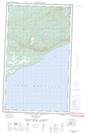
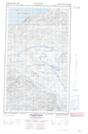
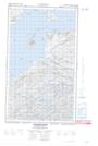
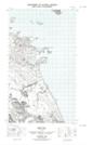
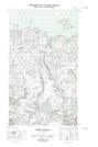
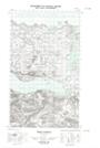
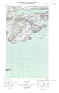
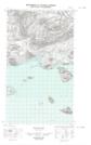
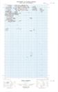
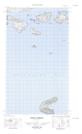
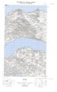
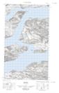
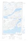
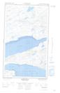
Maps showing Hamilton Inlet, Newfoundland and Labrador
Hamilton Inlet is a Bay located in Newfoundland and Labrador.
- Latitude: 54° 0' 0'' North (decimal: 54.0000626)
- Longitude: 57° 29' 57'' West (decimal: -57.4990326)
- Topography Feature Category: Bay
- Geographical Feature: Inlet
- Canadian Province/Territory: Newfoundland and Labrador
- Atlas of Canada Locator Map: Hamilton Inlet
- GPS Coordinate Locator Map: Hamilton Inlet Lat/Long
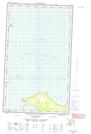
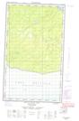
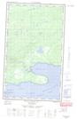
Hamilton Inlet NTS Map Sheets
013F09 North West River Topographic Map at 1:50,000 scale
013G11E Eskimo Paps Topographic Map at 1:50,000 scale
013G11W Eskimo Paps Topographic Map at 1:50,000 scale
013G12E Epinette Point Topographic Map at 1:50,000 scale
013G12W Epinette Point Topographic Map at 1:50,000 scale
013G13E Mulligan Bay Topographic Map at 1:50,000 scale
013G13W Mulligan Bay Topographic Map at 1:50,000 scale
013G14E Etagaulet Point Topographic Map at 1:50,000 scale
013G14W Etagaulet Point Topographic Map at 1:50,000 scale
013G15E Neveisik Island Topographic Map at 1:50,000 scale
013G15W Neveisik Island Topographic Map at 1:50,000 scale
013I03E West Bay Topographic Map at 1:50,000 scale
013I03W West Bay Topographic Map at 1:50,000 scale
013I04E Tinker Harbour Topographic Map at 1:50,000 scale
013I04W Tinker Harbour Topographic Map at 1:50,000 scale
013I05E Pottles Bay Topographic Map at 1:50,000 scale
013I05W Pottles Bay Topographic Map at 1:50,000 scale
013I06E Indian Harbour Topographic Map at 1:50,000 scale
013I06W Indian Harbour Topographic Map at 1:50,000 scale
013J01E Rigolet Topographic Map at 1:50,000 scale
013J01W Rigolet Topographic Map at 1:50,000 scale
013J02E Burnt Head Topographic Map at 1:50,000 scale
013J02W Burnt Head Topographic Map at 1:50,000 scale
013F Goose Bay Topographic Map at 1:250,000 scale
013G Lake Melville Topographic Map at 1:250,000 scale
013I Groswater Bay Topographic Map at 1:250,000 scale
013J Rigolet Topographic Map at 1:250,000 scale