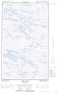
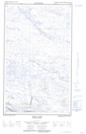
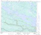
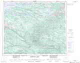
Maps showing Humbug Lake, Naskaupi, Newfoundland and Labrador
Humbug Lake is a Lake located in Naskaupi, Newfoundland and Labrador and has an elevation of 423 meters.
- Latitude: 53° 36' 0'' North (decimal: 53.6000000)
- Longitude: 63° 59' 57'' West (decimal: -63.9991666)
- Topography Feature Category: Lake
- Geographical Feature: Lake
- Canadian Province/Territory: Newfoundland and Labrador
- Elevation: 423 meters
- Location: Naskaupi
- GPS Coordinate Locator Map: Humbug Lake Lat/Long
Humbug Lake NTS Map Sheets