Maps showing Lake Melville, Newfoundland and Labrador
Lake Melville is a Lake located in Newfoundland and Labrador and has an elevation of 12 meters.
- Latitude: 53° 40' 56'' North (decimal: 53.6822087)
- Longitude: 59° 44' 55'' West (decimal: -59.7487339)
- Topography Feature Category: Lake
- Geographical Feature: Lake
- Canadian Province/Territory: Newfoundland and Labrador
- Elevation: 12 meters
- Atlas of Canada Locator Map: Lake Melville
- GPS Coordinate Locator Map: Lake Melville Lat/Long
Lake Melville NTS Map Sheets
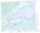
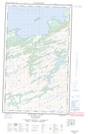
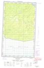
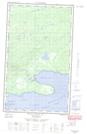
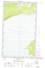
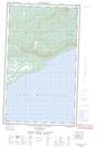
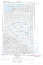
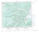
013F08 Goose Bay Topographic Map at 1:50,000 scale
013F09 North West River Topographic Map at 1:50,000 scale
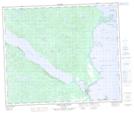
013F16 Mokami Hill Topographic Map at 1:50,000 scale
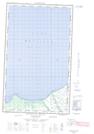
013G05 Kenemich River Topographic Map at 1:50,000 scale
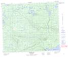
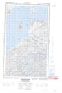
013G11E Eskimo Paps Topographic Map at 1:50,000 scale
013G11W Eskimo Paps Topographic Map at 1:50,000 scale
013G12E Epinette Point Topographic Map at 1:50,000 scale
013G12W Epinette Point Topographic Map at 1:50,000 scale
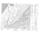
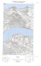
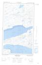
013G13E Mulligan Bay Topographic Map at 1:50,000 scale
013G13W Mulligan Bay Topographic Map at 1:50,000 scale
013G14E Etagaulet Point Topographic Map at 1:50,000 scale
013G14W Etagaulet Point Topographic Map at 1:50,000 scale
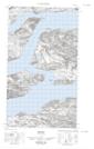
013G15E Neveisik Island Topographic Map at 1:50,000 scale
013G15W Neveisik Island Topographic Map at 1:50,000 scale
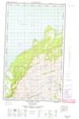
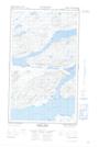
013J01E Rigolet Topographic Map at 1:50,000 scale
013J01W Rigolet Topographic Map at 1:50,000 scale
013J02E Burnt Head Topographic Map at 1:50,000 scale
013J02W Burnt Head Topographic Map at 1:50,000 scale
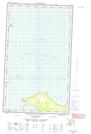
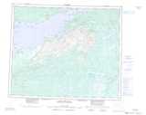
013F Goose Bay Topographic Map at 1:250,000 scale
013G Lake Melville Topographic Map at 1:250,000 scale
013J Rigolet Topographic Map at 1:250,000 scale