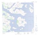
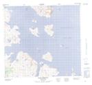
Maps showing Moores Island Tickle, Newfoundland and Labrador
Moores Island Tickle is a Channel located in Newfoundland and Labrador and has an elevation of 1 meters.
- Latitude: 57° 28' 47'' North (decimal: 57.4797072)
- Longitude: 61° 49' 28'' West (decimal: -61.8243152)
- Topography Feature Category: Channel
- Geographical Feature: Tickle
- Canadian Province/Territory: Newfoundland and Labrador
- Elevation: 1 meters
- Atlas of Canada Locator Map: Moores Island Tickle
- GPS Coordinate Locator Map: Moores Island Tickle Lat/Long
Moores Island Tickle NTS Map Sheets