Canada Topographic Maps

Mulligan River Topo Maps

Topography maps and Latitude/Longitude Location

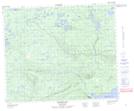
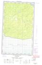
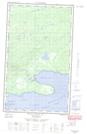
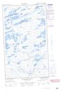
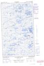
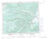
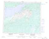
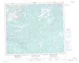
Maps showing Mulligan River, Newfoundland and Labrador

Mulligan River is a River located in Newfoundland and Labrador and has an elevation of 72 meters.

  • Latitude: 53° 49' 27'' North   (decimal: 53.8241666)
  • Longitude: 59° 53' 23'' West   (decimal: -59.8897222)
  • Topography Feature Category: River
  • Geographical Feature: River
  • Canadian Province/Territory: Newfoundland and Labrador
  • Elevation: 72 meters
  • Atlas of Canada Locator Map: Mulligan River
  • GPS Coordinate Locator Map: Mulligan River Lat/Long

Mulligan River NTS Map Sheets

013F16 Mokami Hill Topographic Map at 1:50,000 scale

013G13E Mulligan Bay Topographic Map at 1:50,000 scale

013G13W Mulligan Bay Topographic Map at 1:50,000 scale

013K01E Mulligan River Topographic Map at 1:50,000 scale

013K01W Mulligan River Topographic Map at 1:50,000 scale

013F Goose Bay Topographic Map at 1:250,000 scale

013G Lake Melville Topographic Map at 1:250,000 scale

013K Snegamook Lake Topographic Map at 1:250,000 scale

 
Buy Topographic Maps DVD
Newsletter Sign-up

Yes, I want to receive map store discounts.


Bookmark and Share