Maps showing North River, Newfoundland and Labrador
North River is a River located in Newfoundland and Labrador and has an elevation of 58 meters.
- Latitude: 53° 48' 56'' North (decimal: 53.8155679)
- Longitude: 57° 6' 46'' West (decimal: -57.1126866)
- Topography Feature Category: River
- Geographical Feature: River
- Canadian Province/Territory: Newfoundland and Labrador
- Elevation: 58 meters
- Atlas of Canada Locator Map: North River
- GPS Coordinate Locator Map: North River Lat/Long
North River NTS Map Sheets
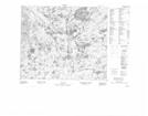
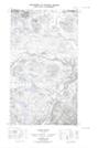
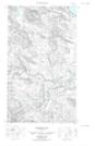
013G09 No Title Topographic Map at 1:50,000 scale
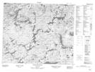
013G10 Etagaulet River Topographic Map at 1:50,000 scale
013G16E No Title Topographic Map at 1:50,000 scale
013G16W No Title Topographic Map at 1:50,000 scale
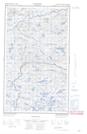
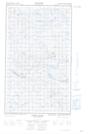
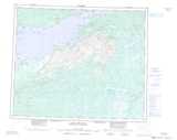
013H13E North River Topographic Map at 1:50,000 scale
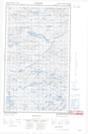
013H13W North River Topographic Map at 1:50,000 scale
013H14E Trunmore Bay Topographic Map at 1:50,000 scale
013H14W Trunmore Bay Topographic Map at 1:50,000 scale
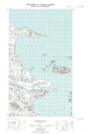
013G Lake Melville Topographic Map at 1:250,000 scale
013H Cartwright Topographic Map at 1:250,000 scale