Canada Topographic Maps

Notakwanon River Topo Maps

Topography maps and Latitude/Longitude Location

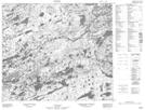
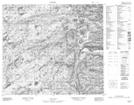
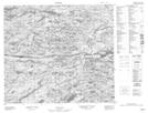
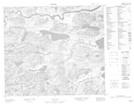
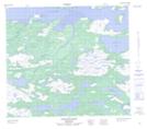
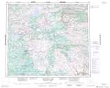
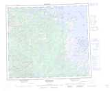
Maps showing Notakwanon River, Newfoundland and Labrador

Notakwanon River is a River located in Newfoundland and Labrador and has an elevation of 14 meters.

  • Latitude: 56° 1' 25'' North   (decimal: 56.0236111)
  • Longitude: 61° 30' 37'' West   (decimal: -61.5102777)
  • Topography Feature Category: River
  • Geographical Feature: River
  • Canadian Province/Territory: Newfoundland and Labrador
  • Elevation: 14 meters
  • Atlas of Canada Locator Map: Notakwanon River
  • GPS Coordinate Locator Map: Notakwanon River Lat/Long

Notakwanon River NTS Map Sheets

013M10 No Title Topographic Map at 1:50,000 scale

013M15 No Title Topographic Map at 1:50,000 scale

013M16 No Title Topographic Map at 1:50,000 scale

013N13 No Title Topographic Map at 1:50,000 scale

014C04 Garland Bight Topographic Map at 1:50,000 scale

013M Mistastin Lake Topographic Map at 1:250,000 scale

013N Hopedale Topographic Map at 1:250,000 scale

014C Nain Topographic Map at 1:250,000 scale

 
Buy Topographic Maps DVD
Newsletter Sign-up

Yes, I want to receive map store discounts.


Bookmark and Share