Canada Topographic Maps

Okak Islands Topo Maps

Topography maps and Latitude/Longitude Location

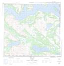
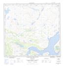
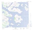
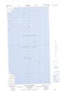
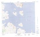
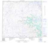
Maps showing Okak Islands, Newfoundland and Labrador

Okak Islands is a Island located in Newfoundland and Labrador and has an elevation of 76 meters.

  • Latitude: 57° 30' 13'' North   (decimal: 57.5036905)
  • Longitude: 61° 50' 24'' West   (decimal: -61.8401018)
  • Topography Feature Category: Island
  • Geographical Feature: Islands
  • Canadian Province/Territory: Newfoundland and Labrador
  • Elevation: 76 meters
  • Atlas of Canada Locator Map: Okak Islands
  • GPS Coordinate Locator Map: Okak Islands Lat/Long

Okak Islands NTS Map Sheets

014E08 Okak Bay Topographic Map at 1:50,000 scale

014E09 Wheeler Mountain Topographic Map at 1:50,000 scale

014F05 Nutak Topographic Map at 1:50,000 scale

014F06 Kelpy Island Topographic Map at 1:50,000 scale

014F12 Okak Harbour Topographic Map at 1:50,000 scale

014E North River Topographic Map at 1:250,000 scale

014F Nutak Topographic Map at 1:250,000 scale

 
Buy Topographic Maps DVD
Newsletter Sign-up

Yes, I want to receive map store discounts.


Bookmark and Share