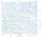
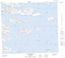
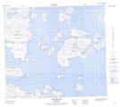
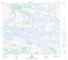
Maps showing Paul Island, Newfoundland and Labrador
Paul Island is a Island located in Newfoundland and Labrador and has an elevation of 229 meters.
- Latitude: 56° 30' 00'' North (decimal: 56.4999999)
- Longitude: 61° 24' 57'' West (decimal: -61.4158333)
- Topography Feature Category: Island
- Geographical Feature: Island
- Canadian Province/Territory: Newfoundland and Labrador
- Elevation: 229 meters
- Atlas of Canada Locator Map: Paul Island
- GPS Coordinate Locator Map: Paul Island Lat/Long
Paul Island NTS Map Sheets