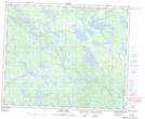
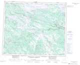
Maps showing Peg Lake, Newfoundland and Labrador
Peg Lake is a Lake located in Newfoundland and Labrador and has an elevation of 595 meters.
- Latitude: 53° 20' 0'' North (decimal: 53.3334218)
- Longitude: 65° 53' 58'' West (decimal: -65.8993124)
- Topography Feature Category: Lake
- Geographical Feature: Lake
- Canadian Province/Territory: Newfoundland and Labrador
- Elevation: 595 meters
- Atlas of Canada Locator Map: Peg Lake
- GPS Coordinate Locator Map: Peg Lake Lat/Long
Peg Lake NTS Map Sheets