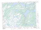
Maps showing Water Chute Pond, Newfoundland and Labrador
Water Chute Pond is a Lake located in Newfoundland and Labrador.
- Latitude: 48° 18' 50'' North (decimal: 48.3138888)
- Longitude: 54° 5' 57'' West (decimal: -54.0991666)
- Topography Feature Category: Lake
- Geographical Feature: Pond
- Canadian Province/Territory: Newfoundland and Labrador
- GPS Coordinate Locator Map: Water Chute Pond Lat/Long
Water Chute Pond NTS Map Sheets