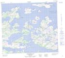
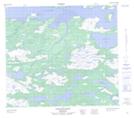
Maps showing Uibyak Peninsula, Newfoundland and Labrador
Uibyak Peninsula is a Cape located in Newfoundland and Labrador and has an elevation of 149 meters.
- Latitude: 56° 11' 45'' North (decimal: 56.1958333)
- Longitude: 61° 26' 21'' West (decimal: -61.4391666)
- Topography Feature Category: Cape
- Geographical Feature: Peninsula
- Canadian Province/Territory: Newfoundland and Labrador
- Elevation: 149 meters
- Atlas of Canada Locator Map: Uibyak Peninsula
- GPS Coordinate Locator Map: Uibyak Peninsula Lat/Long
Uibyak Peninsula NTS Map Sheets