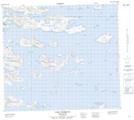
Maps showing Wyatt Harbour, Newfoundland and Labrador
Wyatt Harbour is a Bay located in Newfoundland and Labrador.
- Latitude: 56° 21' 00'' North (decimal: 56.3499999)
- Longitude: 61° 16' 57'' West (decimal: -61.2824999)
- Topography Feature Category: Bay
- Geographical Feature: Harbour
- Canadian Province/Territory: Newfoundland and Labrador
- Atlas of Canada Locator Map: Wyatt Harbour
- GPS Coordinate Locator Map: Wyatt Harbour Lat/Long