Maps showing Yellow Fox Brook, Newfoundland and Labrador
Yellow Fox Brook is a River located in Newfoundland and Labrador and has an elevation of 285 meters.
- Latitude: 48° 54' 7'' North (decimal: 48.9019444)
- Longitude: 54° 59' 44'' West (decimal: -54.9955555)
- Topography Feature Category: River
- Geographical Feature: Brook
- Canadian Province/Territory: Newfoundland and Labrador
- Elevation: 285 meters
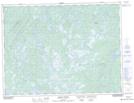
- Atlas of Canada Locator Map: Yellow Fox Brook
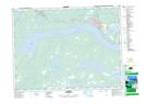
- GPS Coordinate Locator Map: Yellow Fox Brook Lat/Long
Yellow Fox Brook NTS Map Sheets