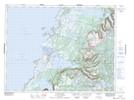
Maps showing Stanford River, Newfoundland and Labrador
Stanford River is a River located in Newfoundland and Labrador.
- Latitude: 49° 57' 0'' North (decimal: 49.9500000)
- Longitude: 57° 45' 27'' West (decimal: -57.7574999)
- Topography Feature Category: River
- Geographical Feature: River
- Canadian Province/Territory: Newfoundland and Labrador
- GPS Coordinate Locator Map: Stanford River Lat/Long
Stanford River NTS Map Sheets