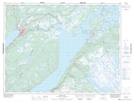
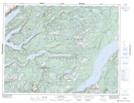
Maps showing West Rocky Brook, Newfoundland and Labrador
West Rocky Brook is a River located in Newfoundland and Labrador and has an elevation of 230 meters.
- Latitude: 49° 14' 40'' North (decimal: 49.2444444)
- Longitude: 57° 26' 57'' West (decimal: -57.4491666)
- Topography Feature Category: River
- Geographical Feature: Brook
- Canadian Province/Territory: Newfoundland and Labrador
- Elevation: 230 meters
- Atlas of Canada Locator Map: West Rocky Brook
- GPS Coordinate Locator Map: West Rocky Brook Lat/Long
West Rocky Brook NTS Map Sheets