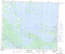
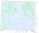
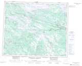
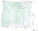
Maps showing Sandgirt Lake, Menihek, Newfoundland and Labrador
Sandgirt Lake is a Lake located in Menihek, Newfoundland and Labrador.
- Latitude: 53° 55' 00'' North (decimal: 53.9166666)
- Longitude: 65° 14' 57'' West (decimal: -65.2491666)
- Topography Feature Category: Lake
- Geographical Feature: Lake
- Canadian Province/Territory: Newfoundland and Labrador
- Location: Menihek
- GPS Coordinate Locator Map: Sandgirt Lake Lat/Long
Sandgirt Lake NTS Map Sheets