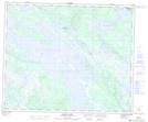
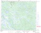
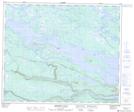
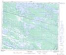
Maps showing BonnellCreek, Newfoundland and Labrador
BonnellCreek is a River located in Newfoundland and Labrador and has an elevation of 428 meters.
- Latitude: 53° 31' 00'' North (decimal: 53.5166666)
- Longitude: 64° 28' 57'' West (decimal: -64.4824999)
- Topography Feature Category: River
- Geographical Feature: Creek
- Canadian Province/Territory: Newfoundland and Labrador
- Elevation: 428 meters
- Atlas of Canada Locator Map: BonnellCreek
- GPS Coordinate Locator Map: BonnellCreek Lat/Long
BonnellCreek NTS Map Sheets