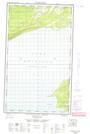
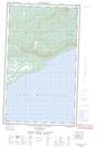
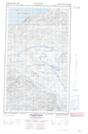
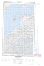
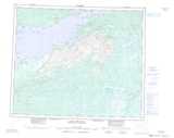
Maps showing Frenchmans Brook, Eagle River, Newfoundland and Labrador
Frenchmans Brook is a River located in Eagle River, Newfoundland and Labrador.
- Latitude: 53° 46' 47'' North (decimal: 53.7797222)
- Longitude: 59° 2' 34'' West (decimal: -59.0427777)
- Topography Feature Category: River
- Geographical Feature: Brook
- Canadian Province/Territory: Newfoundland and Labrador
- Location: Eagle River
- Atlas of Canada Locator Map: Frenchmans Brook
- GPS Coordinate Locator Map: Frenchmans Brook Lat/Long
Frenchmans Brook NTS Map Sheets