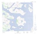
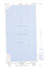
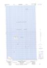
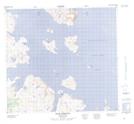
Maps showing Khikkertarsoak South Island, Torngat Mountains, Newfoundland and Labrador
Khikkertarsoak South Island is a Island located in Torngat Mountains, Newfoundland and Labrador.
- Latitude: 57° 30' 4'' North (decimal: 57.5011489)
- Longitude: 61° 28' 49'' West (decimal: -61.4802924)
- Topography Feature Category: Island
- Geographical Feature: Island
- Canadian Province/Territory: Newfoundland and Labrador
- Location: Torngat Mountains
- Atlas of Canada Locator Map: Khikkertarsoak South Island
- GPS Coordinate Locator Map: Khikkertarsoak South Island Lat/Long
Khikkertarsoak South Island NTS Map Sheets