Canada Topographic Maps

Seven-Mile Pond Topo Maps

Topography maps and Latitude/Longitude Location

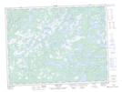
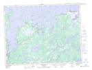
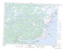
Maps showing Seven-Mile Pond, Newfoundland and Labrador

Seven-Mile Pond is a Lake located in Newfoundland and Labrador and has an elevation of 58 meters.

  • Latitude: 49° 15' 15'' North   (decimal: 49.2541666)
  • Longitude: 54° 0' 20'' West   (decimal: -54.0055554)
  • Topography Feature Category: Lake
  • Geographical Feature: Pond
  • Canadian Province/Territory: Newfoundland and Labrador
  • Elevation: 58 meters
  • Atlas of Canada Locator Map: Seven-Mile Pond
  • GPS Coordinate Locator Map: Seven-Mile Pond Lat/Long

Seven-Mile Pond NTS Map Sheets

002E01 Weir's Pond Topographic Map at 1:50,000 scale

002E08 Carmanville Topographic Map at 1:50,000 scale

002F04 Wesleyville Topographic Map at 1:50,000 scale

002F05 Musgrave Harbour Topographic Map at 1:50,000 scale

002E Botwood Topographic Map at 1:250,000 scale

002F Wesleyville Topographic Map at 1:250,000 scale

 
Buy Topographic Maps DVD
Newsletter Sign-up

Yes, I want to receive map store discounts.


Bookmark and Share