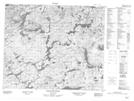
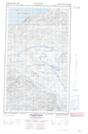
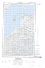
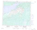
Maps showing Antler Cirque, Newfoundland and Labrador
Antler Cirque is a Valley located in Newfoundland and Labrador.
- Latitude: 53° 44' 00'' North (decimal: 53.7333333)
- Longitude: 58° 42' 57'' West (decimal: -58.7158333)
- Topography Feature Category: Valley
- Geographical Feature: Cirque
- Canadian Province/Territory: Newfoundland and Labrador
- Atlas of Canada Locator Map: Antler Cirque
- GPS Coordinate Locator Map: Antler Cirque Lat/Long
Antler Cirque NTS Map Sheets