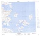
Maps showing Chain Rocks, Newfoundland and Labrador
Chain Rocks is a Shoal located in Newfoundland and Labrador.
- Latitude: 56° 47' 39'' North (decimal: 56.7941659)
- Longitude: 61° 3' 39'' West (decimal: -61.0609680)
- Topography Feature Category: Shoal
- Geographical Feature: Rocks
- Canadian Province/Territory: Newfoundland and Labrador
- Atlas of Canada Locator Map: Chain Rocks
- GPS Coordinate Locator Map: Chain Rocks Lat/Long