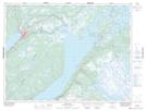
Maps showing The Spillway, Newfoundland and Labrador
The Spillway is a River located in Newfoundland and Labrador.
- Latitude: 49° 10' 5'' North (decimal: 49.1680555)
- Longitude: 57° 26' 27'' West (decimal: -57.4408333)
- Topography Feature Category: River
- Geographical Feature: Brook
- Canadian Province/Territory: Newfoundland and Labrador
- GPS Coordinate Locator Map: The Spillway Lat/Long
The Spillway NTS Map Sheets