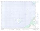
Maps showing Golfe du Saint-Laurent, Newfoundland and Labrador
Golfe du Saint-Laurent is a Bay located in Newfoundland and Labrador and has an elevation of 0 meters.
- Latitude: 48° 60' 00'' North (decimal: 48.9999999)
- Longitude: 58° 59' 57'' West (decimal: -58.9991666)
- Topography Feature Category: Bay
- Geographical Feature: Golfe
- Canadian Province/Territory: Newfoundland and Labrador
- Elevation: 0 meters
- Atlas of Canada Locator Map: Golfe du Saint-Laurent
- GPS Coordinate Locator Map: Golfe du Saint-Laurent Lat/Long
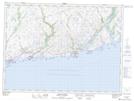
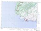
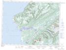
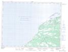
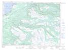
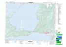
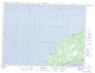
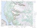
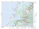
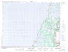
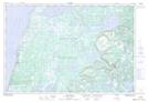
Golfe du Saint-Laurent NTS Map Sheets
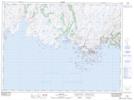
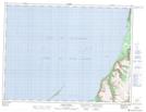
011O10 Rose Blanche Topographic Map at 1:50,000 scale
011O11 Port Aux Basques Topographic Map at 1:50,000 scale
011O14 Codroy Topographic Map at 1:50,000 scale
011P08 Pass Island Topographic Map at 1:50,000 scale
011P12 Burgeo Topographic Map at 1:50,000 scale
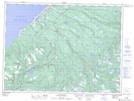
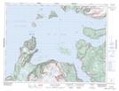
012B02 St Fintan's Topographic Map at 1:50,000 scale
012B03 Little Friars Cove Topographic Map at 1:50,000 scale
012B06 Cape St George Topographic Map at 1:50,000 scale
012B07 Flat Bay Topographic Map at 1:50,000 scale
012B08 Main Gut Topographic Map at 1:50,000 scale
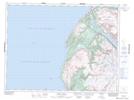
012B10 Stephenville Topographic Map at 1:50,000 scale
012B11 Mainland Topographic Map at 1:50,000 scale
012B15 Shag Island Topographic Map at 1:50,000 scale
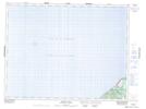
012G01 Bay Of Islands Topographic Map at 1:50,000 scale
012G08 Trout River Topographic Map at 1:50,000 scale
012G09 Skinner Cove Topographic Map at 1:50,000 scale
012H12 Gros Morne Topographic Map at 1:50,000 scale
012H13 St Pauls Inlet Topographic Map at 1:50,000 scale
012I04 Portland Creek Topographic Map at 1:50,000 scale
012I06 Bellburns Topographic Map at 1:50,000 scale
012I14 St John Island Topographic Map at 1:50,000 scale
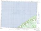
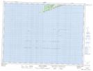
011O Port Aux Basques Topographic Map at 1:250,000 scale
011P Burgeo Topographic Map at 1:250,000 scale
012B Stephenville Topographic Map at 1:250,000 scale
012G Bay Of Islands Topographic Map at 1:250,000 scale
012H Sandy Lake Topographic Map at 1:250,000 scale
012I Port Saunders Topographic Map at 1:250,000 scale