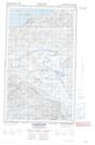
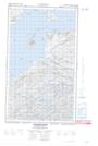
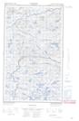
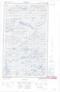
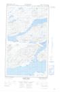
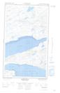
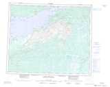
Maps showing Grants Brook, Eagle River, Newfoundland and Labrador
Grants Brook is a River located in Eagle River, Newfoundland and Labrador.
- Latitude: 54° 0' 44'' North (decimal: 54.0123249)
- Longitude: 58° 30' 43'' West (decimal: -58.5119186)
- Topography Feature Category: River
- Geographical Feature: Brook
- Canadian Province/Territory: Newfoundland and Labrador
- Location: Eagle River
- Atlas of Canada Locator Map: Grants Brook
- GPS Coordinate Locator Map: Grants Brook Lat/Long
Grants Brook NTS Map Sheets
013G15E Neveisik Island Topographic Map at 1:50,000 scale
013G15W Neveisik Island Topographic Map at 1:50,000 scale
013G16E No Title Topographic Map at 1:50,000 scale
013G16W No Title Topographic Map at 1:50,000 scale
013J02E Burnt Head Topographic Map at 1:50,000 scale
013J02W Burnt Head Topographic Map at 1:50,000 scale
013G Lake Melville Topographic Map at 1:250,000 scale
013J Rigolet Topographic Map at 1:250,000 scale