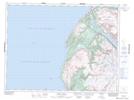
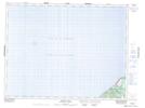
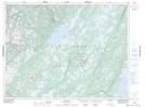
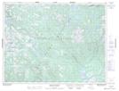
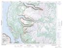
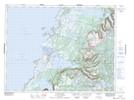
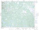
Maps showing Gros Morne National Park of Canada, St. Barbe; Bay of Islands, Newfoundland and Labrador
Gros Morne National Park of Canada is a Conservation area located in St. Barbe; Bay of Islands, Newfoundland and Labrador.
- Latitude: 49° 41' 22'' North (decimal: 49.6894444)
- Longitude: 57° 44' 17'' West (decimal: -57.7380555)
- Topography Feature Category: Conservation area
- Geographical Feature: National Park
- Canadian Province/Territory: Newfoundland and Labrador
- Location: St. Barbe; Bay of Islands
- Atlas of Canada Locator Map: Gros Morne National Park of Canada
- GPS Coordinate Locator Map: Gros Morne National Park of Canada Lat/Long
Gros Morne National Park of Canada NTS Map Sheets
012G08 Trout River Topographic Map at 1:50,000 scale
012G09 Skinner Cove Topographic Map at 1:50,000 scale
012H05 Lomond Topographic Map at 1:50,000 scale
012H06 Cormack Topographic Map at 1:50,000 scale
012H11 Silver Mountain Topographic Map at 1:50,000 scale
012H12 Gros Morne Topographic Map at 1:50,000 scale
012H13 St Pauls Inlet Topographic Map at 1:50,000 scale
012H14 Main River Topographic Map at 1:50,000 scale
012G Bay Of Islands Topographic Map at 1:250,000 scale
012H Sandy Lake Topographic Map at 1:250,000 scale