Canada Topographic Maps

Stanley Topo Maps

Topography maps and Latitude/Longitude Location

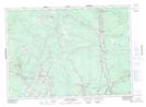
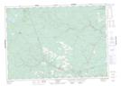
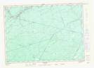
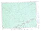
Maps showing Stanley, York, New Brunswick

Stanley is a Geographical area located in York, New Brunswick and has an elevation of 257 meters.

  • Latitude: 46° 30' 0'' North   (decimal: 46.5000042)
  • Longitude: 66° 40' 00'' West   (decimal: -66.6666605)
  • Topography Feature Category: Geographical area
  • Geographical Feature: Parish
  • Canadian Province/Territory: New Brunswick
  • Elevation: 257 meters
  • Location: York
  • Atlas of Canada Locator Map: Stanley
  • GPS Coordinate Locator Map: Stanley Lat/Long

Stanley NTS Map Sheets

021J02 Burtts Corner Topographic Map at 1:50,000 scale

021J07 Napadogan Topographic Map at 1:50,000 scale

021J08 Boiestown Topographic Map at 1:50,000 scale

021J09 Doaktown Topographic Map at 1:50,000 scale

021J10 Hayesville Topographic Map at 1:50,000 scale

021J Woodstock Topographic Map at 1:250,000 scale

 
Buy Topographic Maps DVD
Newsletter Sign-up

Yes, I want to receive map store discounts.


Bookmark and Share