Maps showing Anticosti Island, L'Île-d'Anticosti; Minganie, Quebec
Anticosti Island is a Island located in L'Île-d'Anticosti; Minganie, Quebec and has an elevation of 65 meters.
- Latitude: 49° 30' North (decimal: 49.5000000)
- Longitude: 63° 00' West (decimal: -62.9999999)
- Topography Feature Category: Island
- Geographical Feature: Island
- Canadian Province/Territory: Quebec
- Elevation: 65 meters
- Location: L'Île-d'Anticosti; Minganie
- Atlas of Canada Locator Map: Anticosti Island
- GPS Coordinate Locator Map: Anticosti Island Lat/Long
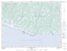
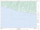
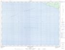
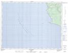
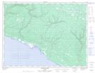
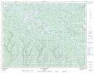
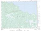
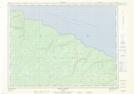
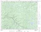
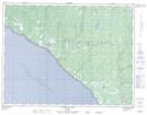
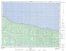
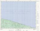
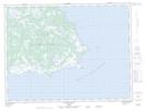
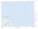
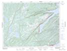
Anticosti Island NTS Map Sheets
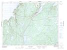
012E01 Escarpement Bagot Topographic Map at 1:50,000 scale
012E02 Riviere Bilodeau Topographic Map at 1:50,000 scale
012E03 Riviere Chicotte Topographic Map at 1:50,000 scale
012E05 Anse Gibbons Topographic Map at 1:50,000 scale
012E06 Riviere Galiote Topographic Map at 1:50,000 scale
012E07 Lac Rainsford Topographic Map at 1:50,000 scale
012E08 Grande Baie Broom Topographic Map at 1:50,000 scale
012E09 Pointe De La Tour Topographic Map at 1:50,000 scale
012E10 Pointe Carleton Topographic Map at 1:50,000 scale
012E11 Lac Wickenden Topographic Map at 1:50,000 scale
012E12 Riviere Au Fusil Topographic Map at 1:50,000 scale
012E13 Lac Faure Topographic Map at 1:50,000 scale
012E14 Anse De La Sauvagesse Topographic Map at 1:50,000 scale
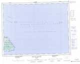
012F04 Pointe Heath Topographic Map at 1:50,000 scale
012F05 Cap De La Table Topographic Map at 1:50,000 scale
012H09 King's Point Topographic Map at 1:50,000 scale
012H16 Baie Verte Topographic Map at 1:50,000 scale
012E Ile D'Anticosti Topographic Map at 1:250,000 scale
012F Baie Du Renard Topographic Map at 1:250,000 scale
012H Sandy Lake Topographic Map at 1:250,000 scale