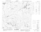
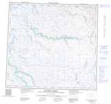
Maps showing Lac Biraben, Rivière-Koksoak; Kativik, Quebec
Lac Biraben is a Lake located in Rivière-Koksoak; Kativik, Quebec and has an elevation of 626 meters.
- Latitude: 58° 2' 41'' North (decimal: 58.0447222)
- Longitude: 64° 23' 36'' West (decimal: -64.3933333)
- Topography Feature Category: Lake
- Geographical Feature: Lac
- Canadian Province/Territory: Quebec
- Elevation: 626 meters
- Location: Rivière-Koksoak; Kativik
- Atlas of Canada Locator Map: Lac Biraben
- GPS Coordinate Locator Map: Lac Biraben Lat/Long
Lac Biraben NTS Map Sheets