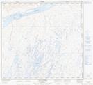
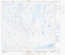
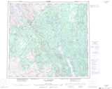
Maps showing Ruisseau aux Cailloux, Rivière-Koksoak; Kativik, Quebec
Ruisseau aux Cailloux is a River located in Rivière-Koksoak; Kativik, Quebec.
- Latitude: 57° 59' 15'' North (decimal: 57.9873791)
- Longitude: 68° 47' 2'' West (decimal: -68.7839967)
- Topography Feature Category: River
- Geographical Feature: Ruisseau
- Canadian Province/Territory: Quebec
- Location: Rivière-Koksoak; Kativik
- Atlas of Canada Locator Map: Ruisseau aux Cailloux
- GPS Coordinate Locator Map: Ruisseau aux Cailloux Lat/Long
Ruisseau aux Cailloux NTS Map Sheets