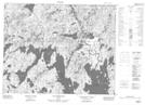
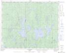
Maps showing Rivière Desgouttes, Rivière-aux-Outardes; Manicouagan, Quebec
Rivière Desgouttes is a River located in Rivière-aux-Outardes; Manicouagan, Quebec and has an elevation of 541 meters.
- Latitude: 51° 47' 33'' North (decimal: 51.7925616)
- Longitude: 70° 1' 27'' West (decimal: -70.0241770)
- Topography Feature Category: River
- Geographical Feature: Rivière
- Canadian Province/Territory: Quebec
- Elevation: 541 meters
- Location: Rivière-aux-Outardes; Manicouagan
- Atlas of Canada Locator Map: Rivière Desgouttes
- GPS Coordinate Locator Map: Rivière Desgouttes Lat/Long
Rivière Desgouttes NTS Map Sheets