Canada Topographic Maps

Rivière Iktotat Topo Maps

Topography maps and Latitude/Longitude Location

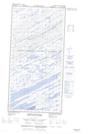
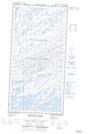
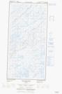
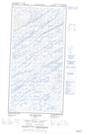
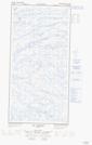
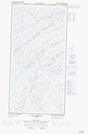
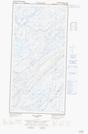
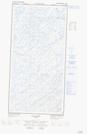
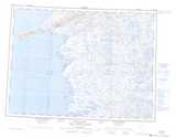
Maps showing Rivière Iktotat, Baie-d'Hudson; Kativik, Quebec

Rivière Iktotat is a River located in Baie-d'Hudson; Kativik, Quebec and has an elevation of 8 meters.

  • Latitude: 60° 50' 13'' North   (decimal: 60.8369476)
  • Longitude: 77° 31' 15'' West   (decimal: -77.5207544)
  • Topography Feature Category: River
  • Geographical Feature: Rivière
  • Canadian Province/Territory: Quebec
  • Elevation: 8 meters
  • Location: Baie-d'Hudson; Kativik
  • Atlas of Canada Locator Map: Rivière Iktotat
  • GPS Coordinate Locator Map: Rivière Iktotat Lat/Long

Rivière Iktotat NTS Map Sheets

035C13E Massif Kucyniak Topographic Map at 1:50,000 scale

035C13W Massif Kucyniak Topographic Map at 1:50,000 scale

035C14E Lac Isuilutaq Topographic Map at 1:50,000 scale

035C14W Lac Isuilutaq Topographic Map at 1:50,000 scale

035F02E Lac Vigneau Topographic Map at 1:50,000 scale

035F02W Lac Vigneau Topographic Map at 1:50,000 scale

035F03E Lac Carye Topographic Map at 1:50,000 scale

035F03W Lac Carye Topographic Map at 1:50,000 scale

035C Povungnituk Topographic Map at 1:250,000 scale

035F Kovik Bay Topographic Map at 1:250,000 scale

 
Buy Topographic Maps DVD
Newsletter Sign-up

Yes, I want to receive map store discounts.


Bookmark and Share