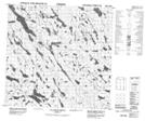
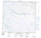
Maps showing Colline Illaigutaujaq, Rivière-Koksoak; Kativik, Quebec
Colline Illaigutaujaq is a Mountain located in Rivière-Koksoak; Kativik, Quebec.
- Latitude: 58° 56' 28'' North (decimal: 58.9411111)
- Longitude: 65° 3' 14'' West (decimal: -65.0538889)
- Topography Feature Category: Mountain
- Geographical Feature: Colline
- Canadian Province/Territory: Quebec
- Location: Rivière-Koksoak; Kativik
- Atlas of Canada Locator Map: Colline Illaigutaujaq
- GPS Coordinate Locator Map: Colline Illaigutaujaq Lat/Long
Colline Illaigutaujaq NTS Map Sheets