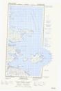
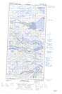
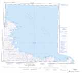
Maps showing Mont Kinngalik, Rivière-Koksoak; Kativik, Quebec
Mont Kinngalik is a Mountain located in Rivière-Koksoak; Kativik, Quebec.
- Latitude: 61° 28' 14'' North (decimal: 61.4705249)
- Longitude: 71° 42' 57'' West (decimal: -71.7158558)
- Topography Feature Category: Mountain
- Geographical Feature: Mont
- Canadian Province/Territory: Quebec
- Location: Rivière-Koksoak; Kativik
- GPS Coordinate Locator Map: Mont Kinngalik Lat/Long
Mont Kinngalik NTS Map Sheets