Maps showing Rivière Kitchigama, Baie-James; Jamésie, Quebec
Rivière Kitchigama is a River located in Baie-James; Jamésie, Quebec and has an elevation of 184 meters.
- Latitude: 51° 4' 13'' North (decimal: 51.0702778)
- Longitude: 78° 42' 57'' West (decimal: -78.7158333)
- Topography Feature Category: River
- Geographical Feature: Rivière
- Canadian Province/Territory: Quebec
- Elevation: 184 meters
- Location: Baie-James; Jamésie
- Atlas of Canada Locator Map: Rivière Kitchigama
- GPS Coordinate Locator Map: Rivière Kitchigama Lat/Long
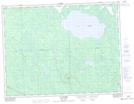
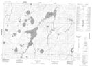
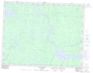
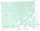
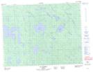
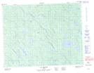
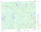
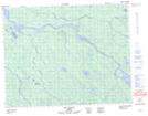
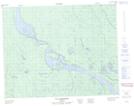
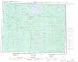
Rivière Kitchigama NTS Map Sheets
032E16 Lac Grasset Topographic Map at 1:50,000 scale
032K04 Lac Bouchier Topographic Map at 1:50,000 scale
032K05 Lac Maurice Topographic Map at 1:50,000 scale
032L01 Lac Paul-Sauve Topographic Map at 1:50,000 scale
032L08 Lac Obamsca Topographic Map at 1:50,000 scale
032L09 Lac Suzanne Topographic Map at 1:50,000 scale
032L15 Riviere Patrick Topographic Map at 1:50,000 scale
032L16 Lac Dusaux Topographic Map at 1:50,000 scale
032M02 Ile D'Herbomez Topographic Map at 1:50,000 scale
032E Joutel Topographic Map at 1:250,000 scale
032K Lac Evans Topographic Map at 1:250,000 scale
032L Riviere Harricana Topographic Map at 1:250,000 scale
032M Fort-Rupert Topographic Map at 1:250,000 scale