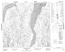
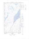
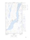
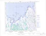
Maps showing Lac Kohlmeister, Rivière-Koksoak; Kativik, Quebec
Lac Kohlmeister is a Lake located in Rivière-Koksoak; Kativik, Quebec.
- Latitude: 58° 9' 51'' North (decimal: 58.1640415)
- Longitude: 68° 0' 17'' West (decimal: -68.0047750)
- Topography Feature Category: Lake
- Geographical Feature: Lac
- Canadian Province/Territory: Quebec
- Location: Rivière-Koksoak; Kativik
- Atlas of Canada Locator Map: Lac Kohlmeister
- GPS Coordinate Locator Map: Lac Kohlmeister Lat/Long
Lac Kohlmeister NTS Map Sheets