Maps showing Rivière Lataille, Rivière-Koksoak; Kativik, Quebec
Rivière Lataille is a River located in Rivière-Koksoak; Kativik, Quebec.
- Latitude: 61° 20' 41'' North (decimal: 61.3448030)
- Longitude: 71° 49' 18'' West (decimal: -71.8217787)
- Topography Feature Category: River
- Geographical Feature: Rivière
- Canadian Province/Territory: Quebec
- Location: Rivière-Koksoak; Kativik
- Atlas of Canada Locator Map: Rivière Lataille
- GPS Coordinate Locator Map: Rivière Lataille Lat/Long
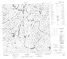
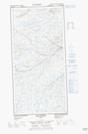
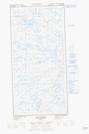
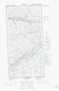
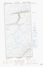
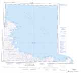
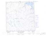
Rivière Lataille NTS Map Sheets
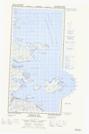
025E05E Whitley Bay Topographic Map at 1:50,000 scale
025E05W Whitley Bay Topographic Map at 1:50,000 scale
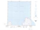
025F04 Quaqtaq Topographic Map at 1:50,000 scale
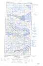
035H01 Lac Charlery Topographic Map at 1:50,000 scale
035H02 Lac Arbot Topographic Map at 1:50,000 scale
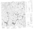
035H07E Lac Vicenza Topographic Map at 1:50,000 scale
035H07W Lac Vicenza Topographic Map at 1:50,000 scale
035H08E Lac Samandre Topographic Map at 1:50,000 scale
035H08W Lac Samandre Topographic Map at 1:50,000 scale
025E Kangiqsujuaq Topographic Map at 1:250,000 scale
035H Cratere Du Nouveau-Quebec Topographic Map at 1:250,000 scale
025F Map Not Available Topographic Map at 1:250,000 scale