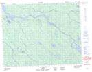
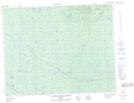
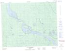
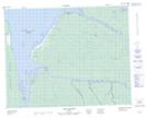
Maps showing Rivière Lepallier, Waskaganish; Jamésie, Quebec
Rivière Lepallier is a River located in Waskaganish; Jamésie, Quebec and has an elevation of 101 meters.
- Latitude: 51° 18' 55'' North (decimal: 51.3152778)
- Longitude: 78° 44' 9'' West (decimal: -78.7358333)
- Topography Feature Category: River
- Geographical Feature: Rivière
- Canadian Province/Territory: Quebec
- Elevation: 101 meters
- Location: Waskaganish; Jamésie
- Atlas of Canada Locator Map: Rivière Lepallier
- GPS Coordinate Locator Map: Rivière Lepallier Lat/Long
Rivière Lepallier NTS Map Sheets